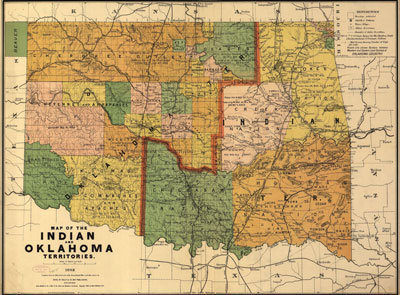
The red line divides the state of Oklahoma and Indian Territory. The map was created in 1892, before statehood. (Library of Congress. http://hdl.loc.gov/loc.gmd/g4021e.ct000224)
The red line divides the state of Oklahoma and Indian Territory. The map was created in 1892, before statehood. (Library of Congress. http://hdl.loc.gov/loc.gmd/g4021e.ct000224)